Trail Projects
The Iditarod Historic Trail Alliance helps facilitate a variety of projects with our partners on the Iditarod National Historic Trail!
|
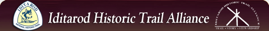
Farewell Lake area was severely damaged by the 2010 Turquoise Lake fire and subsequent erosion. A major project with the Iditarod Trail Committee in the fall of 2014 helped repair the trail!
|
|
|
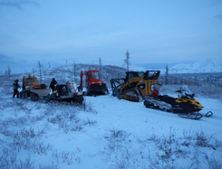
In 2013, the first ever system of Waymark Signs were installed on the Iditarod NHT on a 260 mile segment of the trail system between the Alaska Range and the Yukon River. The effort included 285 mileage signs, place name signs, and directional arrows.
Four community partner groups and BLM staff installed the signs at remote, pre-identified locations after traveling hundreds of miles by snowmachine to installation locations. The Iditarod Historic Trail Alliance provided funding for sign acquisition and shipping ($8,400) and $22,000 of grants to local groups and government to cover the cost of fuel and supplies for winter work along remote sections of the Trail. This sign project will continue as we look to provide waymarking signs where needed throughout the trail!! |
|